 : Kivesvaarantie 39, Paltamo |  : 4-5 h |  : Hiking Boots |
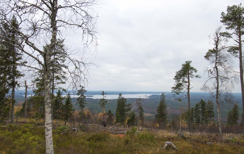
October 2026 | Take the long route or cut a few corners. Either way, you end up with a beautifully silent lake and some rather grand views from Kivesvaara.
Finland has its fair share of place names that sound slightly peculiar once you stop to think about them. Kivesvaara is certainly up there. To modern Finnish ears, kives means testicle, while vaara can mean either danger or a hill. So yes, we spent a day hiking under a testicle danger. Thankfully, no bits were harmed during the day 🤭
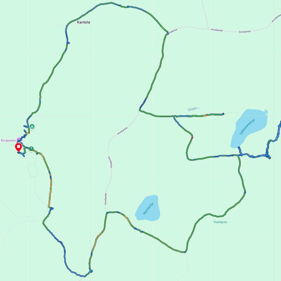
While staying at Arctic Giant (Jättiläisenmaa), we decided to take the longer way around Kivesvaara and combine Kurun polku (Gorge Path) with Kantolan reitti (Kantola Route). What started as a 9.9 km hike eventually turned into 14 km, thanks to a few wrong turns and several cases of “let’s just quickly check what’s behind that corner”.
If you want maximum views with considerably less walking, there is also an option of less than 2 km from one of the parking areas near Yölinnunkuru. More on that below.
Parking & Facilities
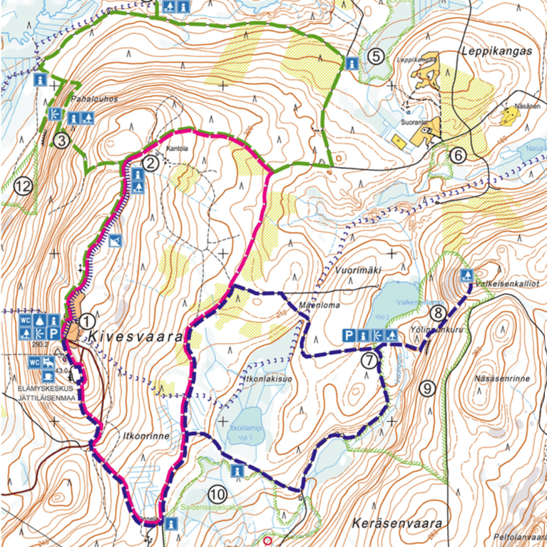
There are two main parking options. We started directly from our Arctic Giant cabin, which happened to be right beside the route, close to number 1 on the map. In October, there was plenty of space in the parking areas.
If you are staying at Arctic Giant, the view from this side of the route will already be quite familiar. So, if your goal is to minimise the walking and maximise the scenery, we would suggest driving to the parking area close to number 7. There are fewer parking spaces there, but you can skip the stretch of fairly standard Finnish forest road between Yölinnunkuru (8) and the observation deck (1).
All parking is free.
Route
There are three marked routes that you can follow separately or combine as you like: the pink Kantolan reitti, 6 km; the blue Kurun polku, 9.9 km; and the green Louhoksen kierros, 7.6 km. We combined the pink and blue routes.
We started from Arctic Giant, headed south and followed the route anticlockwise around Kivesvaara. This took us first along the eastern side via Valkeisenlampi and Valkeisenkalliot, before looping back towards Arctic Giant along the western side.
You can find the corresponding colour markings on the trees, but as long as you can see at least a yellow marking, you know you are still on a marked route.
And please, do as we say, not as we did.
We took an extra detour to the north side of the lake. Nope, there weren’t any yellow markings there. But we were so convinced that we were going the right way that checking the colours didn’t even cross our minds until a “private property” sign appeared. Not even the snow pusher parked beside the road made us suspicious.
Most of the route follows typical Finnish forest roads, with little company other than the silence, occasionally broken by the drumming of a woodpecker. The scenery can become a little repetitive along the longer stretches, but there are several places where it suddenly becomes much more interesting.
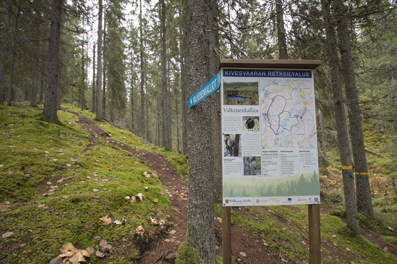
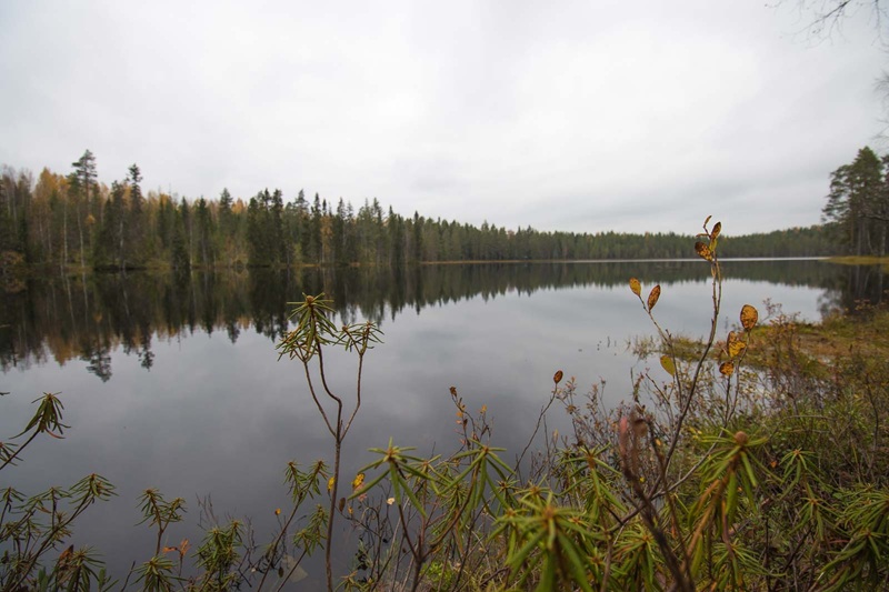
When you reach Valkeisenlampi (7), be sure to walk the extra metres down towards the water. The view and the silence are worth it. There was a clear sign stating that fishing is prohibited, but you are still allowed to walk through the area under Finland’s Everyman’s Rights.
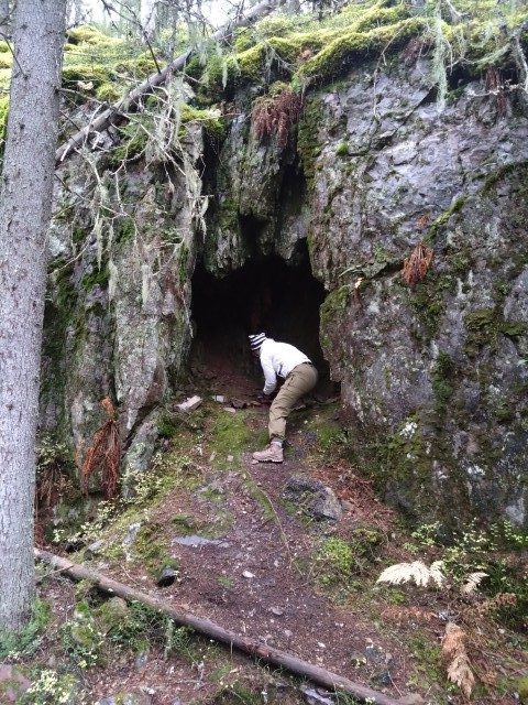
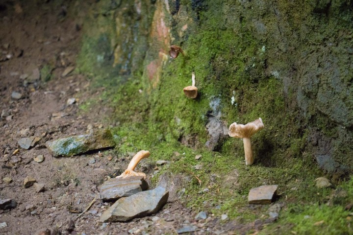
Once you pass the signposted junction after the pond, take a few extra steps towards the rocky hollow visible ahead. It is not exactly a cave, but it seems to make a perfectly good rain shelter, at least if you’re a mushroom.
From there, the gradual climb towards Valkeisenkalliot begins. This is the second-highest point along the route, while the highest point of Kivesvaara itself is close to Arctic Giant.
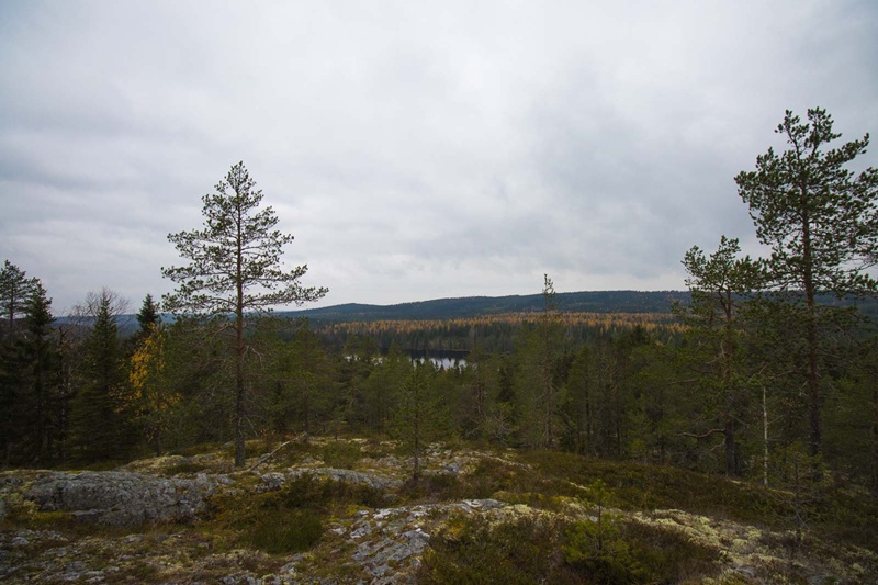
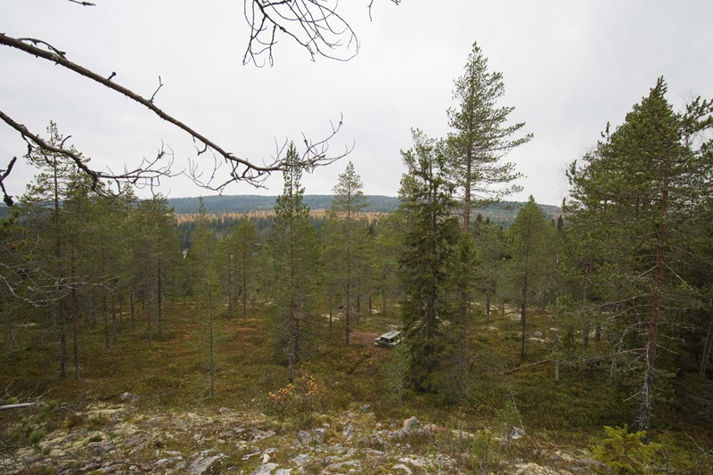
Once you reach the picnic area, don’t stop there. Continue a little higher, because the best view is still ahead. From the top, the landscape opens over Valkeisenlampi, with Arctic Giant visible in the distance on top of Kivesvaara.
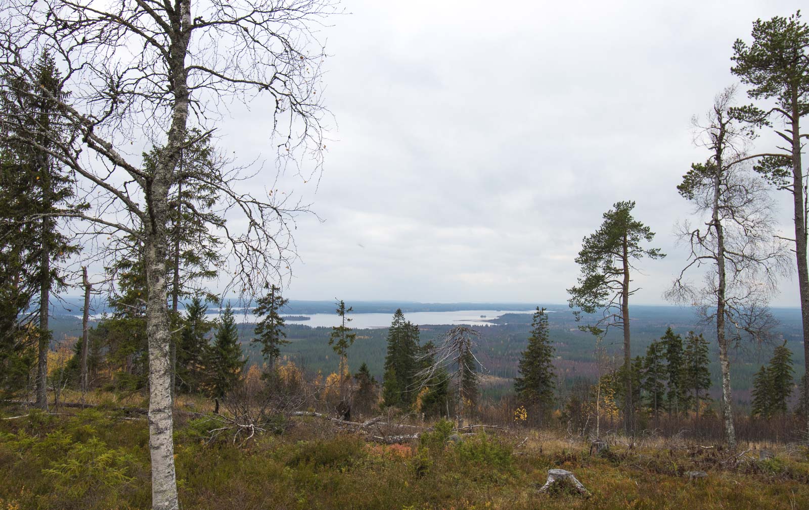
After Valkeisenkalliot, the route eventually turns back towards Arctic Giant and the western side brings a completely different view. Here, the landscape opens towards Lake Kivesjärvi.
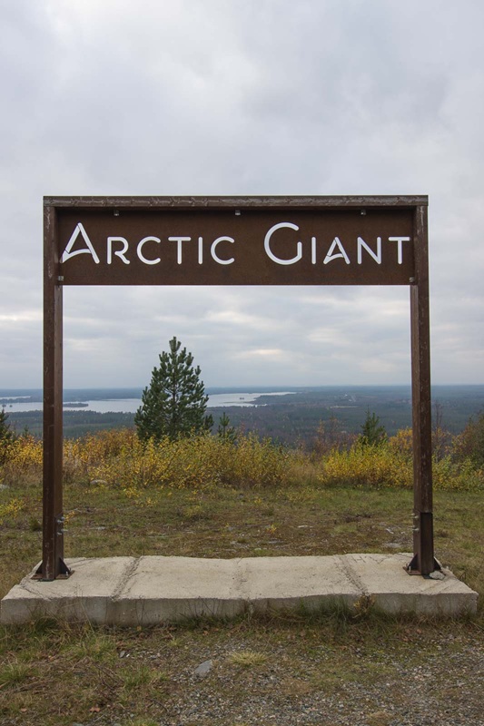
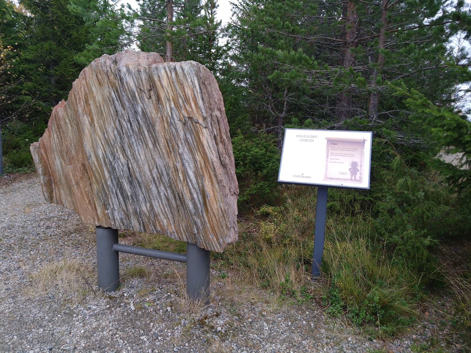
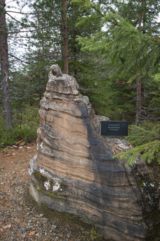
The best panorama is from the viewpoint next to the stone park. But don’t just look at the view, remember to check the rocks too. If you have ever stopped to admire a rock during your morning stroll or collected small pebbles as a child, the park is definitely worth visiting.
Good to Know
- A guide and maps for the routes can be found on the Paltamo website (in Finnish).
- For a quicker trip, drive between the parking areas and enjoy the views from both the western and eastern sides of Kivesvaara.
- Toilets are only available on the western side of the route.
- Most of the routes are easy to walk, but the terrain becomes more challenging around Valkeisenkalliot. The northernmost section of Kantolan reitti, approximately 2 km, is suitable for wheelchairs and pushchairs.
Something We Will Remember
Oh, the rocks.
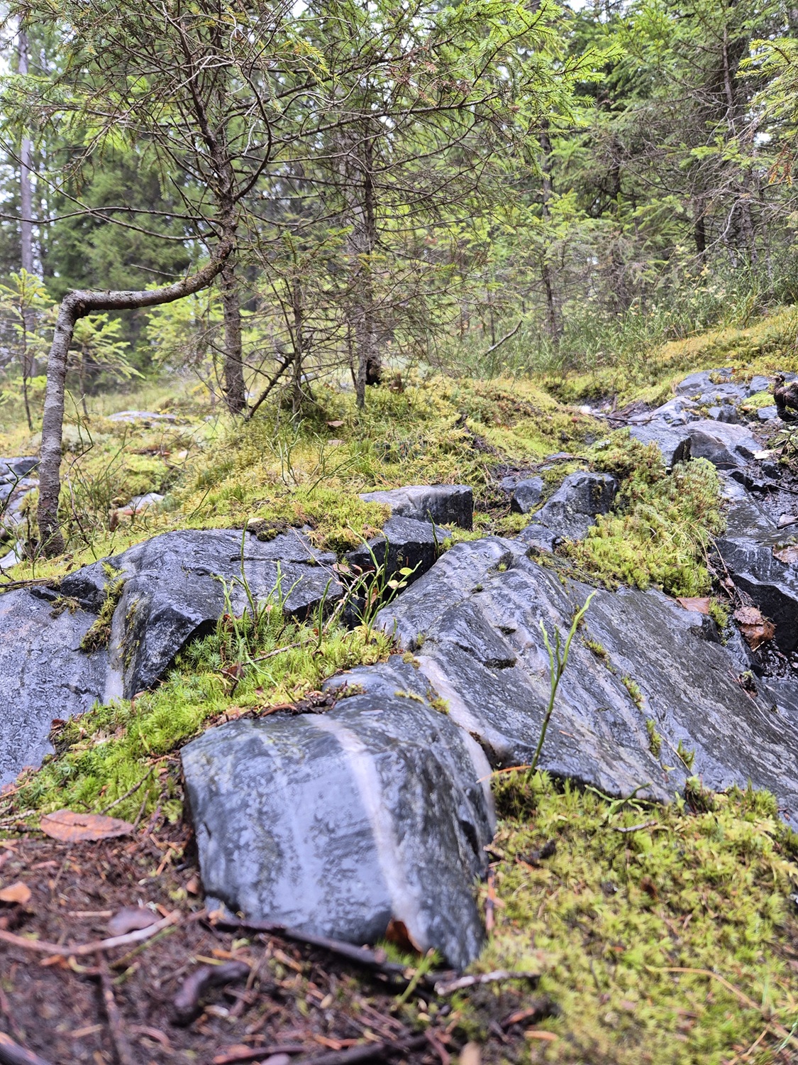
Even though there is an actual stone park near Arctic Giant, the rocks placed along the trail by Mother Nature were the ones we found ourselves admiring the most. Especially around Yölinnunkuru, rocks in all sorts of colours and patterns peek out from beneath the moss and soil along the path.
Our inner rock-collecting children woke from hibernation, and we would happily have taken home at least a few of the 100 kg chunks scattered along the route.
Side Quest
It probably comes as no surprise that our Side Quest for this route is Arctic Giant itself.
Whether you are looking for clean sheets, a hearty dinner or somewhere to park your motorhome, Arctic Giant comes with one thing that is difficult to compete with: the view.
We have stayed in our fair share of fancy hotels and beautiful places, but there may not be many that can beat waking up to this view.
Read how our stay at Arctic Gigant was…


Leave a Reply